Loading...
Marin County · Mount Tamalpais · Trails & Views
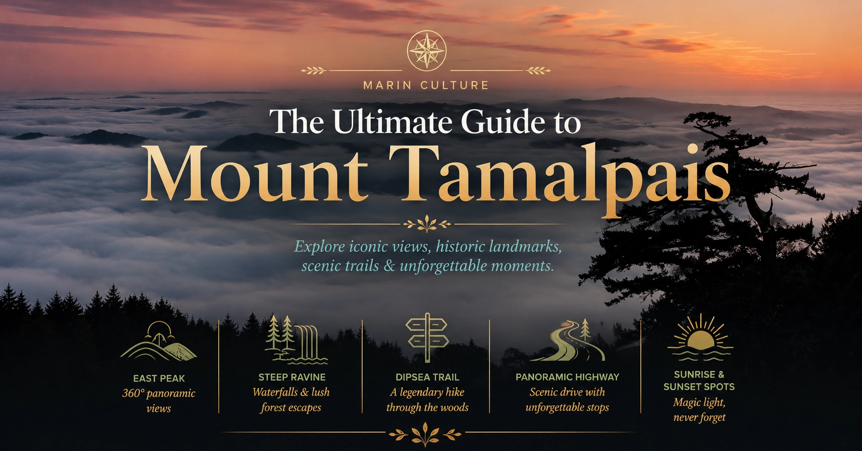
The Ultimate Guide to
Mount Tamalpais
Mount Tam is not one hike or one viewpoint — it is an entire landscape of ridges, redwood canyons, fire roads, and coastal overlooks that define Marin County. This guide covers the destinations people ask about most: East Peak, West Point Inn, Steep Ravine, the Dipsea Trail, Panoramic Highway, and where to catch the best sunrise and sunset on the mountain.
At 2,571 feet, Mount Tamalpais rises above the bay, the Pacific, and a county that treats the mountain as backyard, gym, church, and meeting place. Locals run its fire roads before work. Visitors drive Panoramic Highway on their first Marin weekend. Hikers link Steep Ravine to Stinson. Trail runners know the Dipsea stairs by heart.
This guide is built for planning — not just listing trail names. Each section below covers what makes the place special, who it suits, how to get there, and what to bring. Rules, parking, and access change; always check California State Parks and Marin Municipal Water District notices before you go.
Mount Tam at a glance
Best summit views: East Peak — on a clear day you can see the bay, ocean, bridges, and Sierra peaks.
Best historic experience: West Point Inn — a 1904 hikers' shelter with bay views and weekend hospitality.
Best dramatic hike: Steep Ravine — redwood canyon, ladders, and one of Marin's most memorable trail sections.
Best point-to-point adventure: Dipsea Trail — Mill Valley to Stinson Beach, famous and demanding.
Best scenic drive: Panoramic Highway — the ridge road linking Mill Valley, Pantoll, and the coast.
Best light: Sunrise at East Peak or Rock Spring; sunset along the ridge or at West Point.
Mount Tamalpais, Marin County
East Peak
East Peak is the summit most people mean when they say they “went to the top of Mount Tam.” A short walk from the parking area leads to panoramic views and the historic fire lookout — the payoff for a drive up the mountain rather than a long hike.
The summit experience
Views · Lookout · Short walk
Marin's most accessible big-view summit
From the East Peak parking area, a paved and gravel path climbs to the summit plateau. On clear days the view sweeps from the Farallon Islands west across the Pacific, north toward Mount Saint Helena, east over the entire San Francisco Bay, and south toward the Santa Cruz Mountains. Fog can roll in within minutes — part of the Tam experience — so if the sky is clear, do not wait.
Practical notes
- Getting there: Drive up East Ridgecrest Boulevard from Pantoll or the Mill Valley side via Panoramic Highway. GPS often works, but follow posted park signs near the summit.
- Parking: The main lot fills on clear weekends and holidays. Arrive early or visit on weekdays for the calmest experience. Check current State Parks fees and reservation requirements before you go.
- Trail access: East Peak connects to the broader Mount Tam trail network — Verna Dunshee, Matt Davis, and fire roads radiate from the summit area for longer loops.
- What to bring: Layers (wind at the summit is real), sun protection, water, and a jacket even in summer.
- Best for: First-time visitors, photographers, families who want big views without a long hike, sunrise missions.
Local tip: Pair East Peak with a stop at Rock Spring or Pantoll on the way down — the summit is the headline, but the ridge drive is half the experience.
West Point Inn
Perched on the southwest flank of Mount Tam, West Point Inn is a piece of Bay Area hiking history — a rustic shelter built in 1904 when the mountain was reached by railroad and trail, not SUV.
A hikers' inn on the mountain
Historic · Overnight · Bay views
Spend the night where Marin's trail culture began
West Point Inn sits at about 1,800 feet with unobstructed views across the Golden Gate to San Francisco, the Marin Headlands, and the city skyline. The inn is maintained by volunteers and offers simple overnight accommodations in a communal, hikers'-shelter tradition — bunk beds, shared kitchen, no electricity, and a pace of life dictated by trail dust and sunset.
Day visitors have limited access compared to overnight guests; the inn's weekend tea service (when offered) is a beloved local ritual. Reservations for overnight stays are competitive and typically open on a set schedule — plan months ahead for summer and fall weekends.
How to reach West Point Inn
- From Pantoll: Hike the Matt Davis or Dias Ridge trails toward the inn — popular approaches with real elevation change.
- From Mill Valley: The Dipsea Trail and connecting fire roads offer longer, steeper routes for fit hikers.
- From the ridge: Eldridge Grade and nearby fire roads connect the inn to Panoramic Highway for those who want a shorter hike from a high trailhead.
- Best for: Overnight backpackers, history lovers, photographers chasing golden-hour bay light, hikers linking a Tam traverse.
Know before you go: The inn is not a hotel — expect rustic conditions, shared space, and a pack-in/pack-out ethic. Check the West Point Inn website for current access, reservation windows, and volunteer day policies.
Steep Ravine
Steep Ravine is the trail everyone talks about after their first time — a lush redwood-and-bay-laurel canyon dropping toward the Pacific, with wooden ladders on the steepest sections and a sense that you have left the Bay Area entirely.
The canyon & the ladders
Redwoods · Coastal descent · Challenging
One of Marin's most iconic trail sections
Steep Ravine Trail descends through a narrow canyon from the ridge toward Highway 1 and Stinson Beach. The trail is shaded, often damp, and rooty — beautiful and technical. The wooden ladders on the lower section are the signature feature; they are not dangerous when dry, but they demand attention, especially with a pack or in wet conditions.
Common Steep Ravine routes
- Pantoll to Stinson loop: Descend Steep Ravine to the coast, then return via Dipsea or the highway — a classic hard day hike.
- Dipsea + Steep Ravine: Advanced hikers link the two trails for a ridge-to-beach traverse; know your fitness level and start early.
- Camping: Steep Ravine Environmental Camp has a small number of reservable sites near the trail — book far ahead through Reserve California.
- Best for: Experienced hikers, trail runners training on technical terrain, photographers in the canyon light.
What to bring: Trail shoes with grip, layers (the canyon is cool even on hot days), plenty of water, and trekking poles if you like them on steep descents.
Local tip: After a Steep Ravine descent to Stinson, Breakers Cafe is the natural reward — burgers, tacos, and a patio a few minutes from the sand.
Dipsea Trail
The Dipsea is Marin's most famous trail — 7.4 miles from Mill Valley to Stinson Beach, home to the oldest trail race in America, and a rite of passage for Bay Area hikers.
Mill Valley to the Pacific
7.4 miles · Stairs · Ridge & coast
The trail that defines Marin hiking culture
The Dipsea begins in a residential Mill Valley neighborhood with a punishing set of wooden stairs — locals train on them; visitors often underestimate them. From there the trail climbs through redwoods, crosses open ridge with sweeping views, passes West Point Inn, and eventually drops to Stinson Beach. The full point-to-point hike is moderate-to-strenuous depending on direction; most people find the Mill Valley-to-Stinson direction harder because of the early stair climb.
Dipsea planning essentials
- One-way logistics: Arrange a car shuttle, use Marin Transit route 61 on weekends, or hike out-and-back from a midpoint if you are not ready for the full distance.
- The stairs: More than 600 steps in the opening section — pace yourself and let faster hikers pass.
- Trail junctions: The Dipsea intersects Matt Davis, Steep Ravine, and fire roads — carry a map or downloaded route; it is easy to add accidental mileage.
- Best for: Fit hikers, trail runners, visitors who want the definitive Marin hike, Dipsea Race spectators in June.
Local tip: Fuel up at Tam Junction before an early start — Shoreline Coffee Shop is a practical espresso stop right where Panoramic Highway meets the flats.
The Dipsea Race
Annual tradition · Second Sunday in June
America's oldest trail race, born on this path
Since 1905, runners have raced from Mill Valley to Stinson on the Dipsea Trail — a beloved, quirky event with handicaps based on age and gender, staggered starts, and a finish line on the beach. Even if you are not racing, hiking the trail in the weeks before or after the race gives you a sense of why it matters to Marin. Trail closures apply on race day; check Dipsea Race organizers for current schedules.
Panoramic Highway
Panoramic Highway is the scenic ridge road that makes Mount Tam accessible by car — winding from Mill Valley and Tam Junction up through Pantoll, past Rock Spring, and toward East Peak and the coast. For many visitors, the drive itself is the experience.
The ridge road
Scenic drive · Trailheads · Pullouts
How most people first meet the mountain
Panoramic Highway (and connecting roads like Ridgecrest Boulevard) links southern Marin to the high country. The road is narrow, winding, and shared with cyclists — drive slowly and use pullouts. Fog, deer, and weekend traffic are all normal; clear summer Saturdays can feel like a parade of cars heading to the same viewpoints.
Key stops along Panoramic
- Tam Junction: Last easy services before the climb — coffee, gear at Proof Lab, and a beer at Tam Tavern on the way back down.
- Pantoll Ranger Station: Trailhead hub for Steep Ravine, Dipsea, Matt Davis, and Stinson routes; restrooms and parking (fee applies).
- Rock Spring: Picnic area and trail junction with quick access to open ridge walks and sunset views.
- Ridgecrest Boulevard: Continues toward East Peak and connects to the Bootjack and Mountain Theater areas on the east side of the mountain.
- Coast connection: Descending toward Muir Beach and Highway 1 links the mountain to the shoreline in one continuous scenic loop.
Best for: Sightseers, cyclists, families who want trail options without a long hike to the ridge, photographers at golden hour.
Local tip: Do the loop: up Panoramic from Mill Valley, stop at East Peak or Rock Spring, then descend toward Muir Beach or Stinson for dinner — Buckeye Roadhouse at the base of the mountain is a classic post-drive meal.
Sunrise & Sunset Spots
Mount Tam is one of the best sunrise and sunset destinations in the Bay Area — but the best spot depends on whether you want ocean color, bay silhouettes, fog pouring over the ridge, or a short walk versus a drive-up view.
East Peak
Sunrise · 360° views
The classic sunrise mission — if you are willing to drive in the dark
East Peak at dawn is unforgettable when the fog fills the bay and the sun breaks over the hills. Arrive before civil twilight, bring warm layers, and check that the access road is open. Weekday sunrises are far quieter than weekends.
- Best for: Photographers, early risers, visitors who want one definitive Tam moment.
- Tradeoff: Parking and road access; not ideal if you are uncomfortable driving narrow mountain roads in low light.
West Point Inn
Sunset · Golden Gate views
City skyline and bridge light from the mountain's west flank
West Point Inn faces east across the bay — which makes it exceptional for sunset light on San Francisco and the Golden Gate, not for watching the sun drop into the ocean. Overnight guests and permitted day visitors get the best access; plan ahead.
Rock Spring
Sunset · Easy access
A low-effort golden-hour stop along Panoramic Highway
Rock Spring picnic area sits on the open ridge with west-facing horizons — a popular sunset pullout without hiking to the summit. Short walks from the parking area open up even wider views. Arrive early on clear evenings; the lot is small.
Dias Ridge & open coastal slope
Sunset · Ocean-facing
Pacific sunsets with ridge drama
Dias Ridge Trail runs along the western slope with ocean views — one of the best hikes for watching the sun drop into the Pacific. You will work for it more than at Rock Spring, but the light on grassland hillsides is extraordinary on clear evenings.
Verna Dunshee Loop
Easy · Accessible · Sunset
A gentle paved loop near East Peak
The Verna Dunshee Memorial Trail is a mostly flat, paved loop near the summit with benches and big views — ideal for visitors who want sunset or sunrise without a rugged trail. Popular with families and photographers; can be windy.
Mountain Theater
Events · Amphitheater · Views
Stone amphitheater on the east slope
The Sidney B. Cushing Memorial Amphitheatre — known locally as Mountain Theater — sits on the east side of Tam with stone ruins and bay views. It hosts summer plays and is a striking sunset spot when open. Check access and event schedules through California State Parks.
Sunrise & sunset tips
Check fog forecasts: Marine layer can erase a sunset entirely — flexible plans beat disappointment.
Layer up: Temperature drops fast after sunset on the ridge; wind chill is significant year-round.
Headlamps: Essential if any part of your return is on trail after dark.
Weeknights win: Clear weekday evenings offer the same light with a fraction of the crowd.
Planning your Mount Tam day
Sample itineraries
Half-day scenic: Drive Panoramic Highway → Rock Spring picnic → short Verna Dunshee walk → East Peak → descend to Mill Valley.
Full hiking day: Pantoll → Steep Ravine down → Stinson Beach → shuttle or bus back — hard, memorable, plan logistics first.
History + views: Hike to West Point Inn → return via Matt Davis → dinner at Buckeye Roadhouse.
Sunrise mission: Pre-dawn drive to East Peak → coffee in Mill Valley after → explore downtown shops.
For more Marin trail ideas beyond Mount Tam, see our Marin Parks Guide and Best Beaches guide — Stinson at the bottom of the Dipsea pairs naturally with any Tam hiking day.
More from The Vibe

Did you enjoy this story?
Share it with your friends or explore more from Vibe Magazine.