
Take the Back Roads Through
Samuel P. Taylor
Trade a packed itinerary for a winding drive, a shaded trail, and lunch beneath the trees. This is the Marin outing where getting out of the car is the best part of the road trip.
By Best of Marin Staff · Reviewed
The road is the invitation—not the whole outing
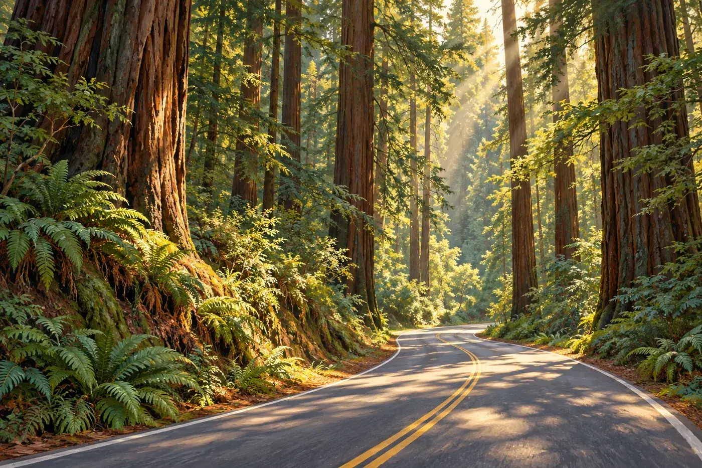
Follow Sir Francis Drake into the trees
Approach from Fairfax on Sir Francis Drake Boulevard, continuing west through the San Geronimo Valley toward Lagunitas and the park. Think of this as a scenic public-road outing, not a shortcut to rush through. “Back roads” does not mean taking your car onto park trails or fire roads.
Build in enough time to park properly and walk. A few minutes beneath the canopy gives you something a windshield cannot: the scale of the trunks, the hush between passing bicycles, and a reason to put your phone away.
Download directions before leaving. Keep your attention on bends and other road users, give cyclists room, and save photographs for legal parking areas. Never stop in a travel lane or block a gate for a view.
A half-day plan that leaves room to breathe
1. Pick up lunch before the forest
Use Fairfax or another convenient stop on your route to assemble a picnic. Think sturdy sandwiches, fruit, and a thermos rather than food that needs a complicated setup. Check business hours if you are counting on a particular stop, and bring water instead of relying on an unverified refill point.
Our suggested plan is two to three hours at the park, plus the drive. Keep the park as the main event; you do not need to add the coast to make the day worthwhile.
2. Park, orient, and choose a turnaround
At the entrance, follow signs for day-use parking and consult the posted map. Azalea is a useful first-visit base. Before setting off, identify your return route and agree on a time to turn around.
For a relaxed first outing, budget roughly 45–90 minutes for walking and pauses, adjusting to your group. That is our suggested time window, not an official trail duration or a promise of reaching a named landmark.
3. Picnic before anyone gets tired
Return while everyone still has energy, choose an available designated picnic spot, and let lunch be part of the visit rather than a reward at the end. Leave your table clean and pack out everything you brought.
If you still want more, consider continuing toward Olema or Point Reyes after checking daylight, conditions, and your return drive. Otherwise, turn back toward Fairfax and call a good half-day exactly that.
Choose the walk that fits your day
Cross Marin Trail: the flexible first choice
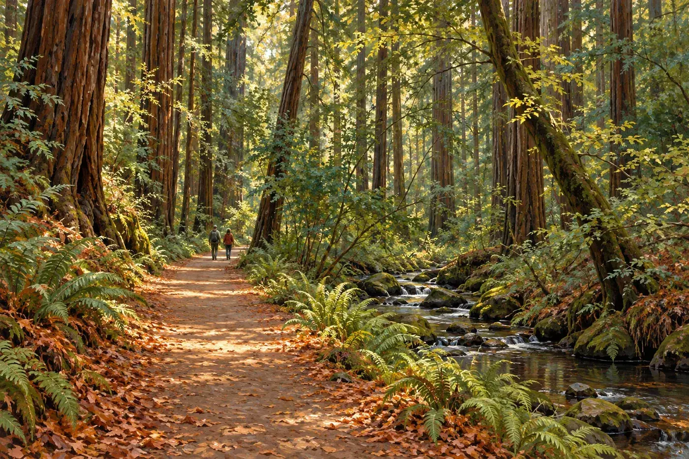
The NPS Cross Marin Trail guide describes a route along the former North Pacific Coast Railroad, beside Lagunitas Creek, with relatively little elevation change. It is shared with bicycles and horses; stay aware and leave room for others.
The entire trail is 5.3 miles one way—10.6 miles out and back. You do not need to complete it. Pick a manageable section from your access point, stop when you like, and return the way you came.
Surface matters: the route changes from pavement to gravel south of Redwood Grove. Check the official description and ask park staff about current conditions if using a stroller or mobility device. A mostly level route is not automatically accessible throughout.
Want a bigger hike? Make it a separate decision
Pioneer Tree and Barnabe routes offer reasons to return with more hiking time. Consult the park map for distance, elevation, connections, and any closures before choosing one. Do not turn a picnic stroll into an improvised loop because a junction looks inviting.
For a mixed-ability group, agree on the shorter shared plan first. Anyone extending the outing should have their own water, navigation, and a clear reunion arrangement—not just an optimistic estimate.
Look for the railroad story beneath the redwoods
The old railroad alignment is a reminder that this landscape has a working history, too. NPS identifies interpretive panels at the former paper mill site. Read them if your chosen route passes that way; respect nearby private employee housing.
A good small challenge for kids or curious adults: find one clue to the landscape’s human history and one detail you would have missed from the car. No collecting or leaving the trail required.
The details that make the day easier
Creekside does not mean in the creek
State Parks closes creek access December 1–June 15 annually to protect fish. Plan to enjoy the creek from an authorized trail, not to wade or swim. Follow signs outside those dates too; a seasonal closure ending is not a safety guarantee.
With children, set the boundary before you reach the water. Give them a trail-based activity—spotting different leaves, listening quietly, or sketching a tree—so entering the creek is never the promised highlight.
Dogs, families, and different walking speeds
Leashed dogs are limited to the campground, picnic day-use area, and Cross Marin Trail; other trails, the creek, cabins, and the hike-and-bike site are off limits. Use a leash no longer than six feet on Cross Marin and bring waste bags.
For families, shorter is often better than ambitious. Let the least experienced walker set the pace. Carry a warm layer even when your starting town feels sunny, and have a dry layer ready for the drive home.
Rain can be atmospheric; storms change the plan
Check the forecast and park alerts before you commit. Wet surfaces deserve slower steps, and strong wind is a reason to reconsider a wooded outing. Do not go around barriers or assume a familiar trail is unchanged after a storm.
Download a map, charge your phone, and tell someone your plan for a longer walk. Leave a comfortable daylight margin; sunset is a deadline for day use, not your cue to begin walking back.
Turn a good afternoon into an overnight
If you want to camp, use ReserveCalifornia and review the official park page before booking. Confirm the actual site, dates, vehicle requirements, and current fire rules. Do not assume walk-up availability.
Keep the first evening simple: arrive with time to set up, eat something easy, and take only a short orientation walk. An overnight is most enjoyable when you do not spend the last daylight solving logistics.
Samuel P. Taylor trip questions
Where should I park for a first visit?
Navigate to Samuel P. Taylor State Park, 8889 Sir Francis Drake Boulevard in Lagunitas. The Azalea Day-Use Area is a useful starting point for a walk and picnic. Follow entrance signs and pay the posted day-use fee.
Do I need to hike the entire Cross Marin Trail?
No. Choose a short out-and-back from your starting point. The full trail is 5.3 miles one way, so walking the entire route and returning is a substantial 10.6-mile outing, not a quick stroll.
Can I bring my dog?
Dogs are allowed in the picnic day-use area, campground, and on Cross Marin Trail, on leash. They are not allowed in the creek, on other trails, in cabins, or in the hike-and-bike site. Check park rules before choosing your route.
Can we go into Lagunitas Creek?
Creek access is closed December 1 through June 15 each year to protect fish. A creekside walk is not permission to enter the water. Follow all posted restrictions in every season and plan this outing around the trail, not swimming.
How long should I allow?
Our suggested half-day visit leaves two to three hours at the park for a flexible walk and picnic, plus travel time. This is a planning suggestion, not a measured hiking time; add more time for longer trails or camping.
Plan with the official sources
Check again before you go
- California State Parks: hours, fees, rules, maps, and alerts
- National Park Service: Cross Marin Trail route and surface details
- ReserveCalifornia: camping reservations
Reviewed October 23, 2026. Suggested itineraries and time budgets are editorial recommendations, not official trail measurements. Conditions and fees can change.